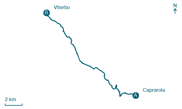
Caprarola → Viterbo
Walking distance 18.7 km
Download Appy for the stage map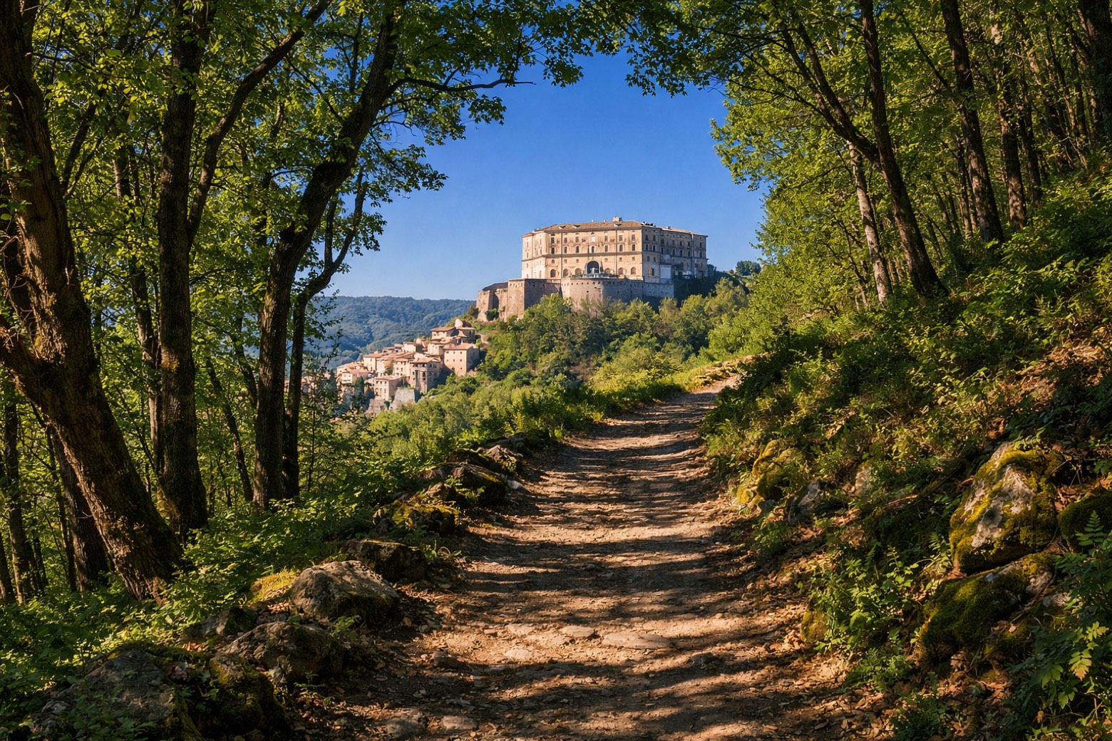
Stage information
- Ascent
- 491 m
- Descent
- 687 m
Difficulty: easy
Walking the stage
Walk 19 km from Caprarola to Viterbo, with 491 m of climbing along the way on a steady day of walking.
On arrival in Viterbo, consider a stop at Porta Romana, Viterbo, close to the finish.
What to see on this stage
History and landmarks
Porta Romana, Viterbo
< 100 m from the trail as the crow flies
A plain single-arch gate of tuff and local stone, built in the thirteenth century as the city's southern entrance on the road from Rome. Travellers bound for the Via Francigena passed through it, and the walls beside it are well preserved.
Fontana Grande, Viterbo
300 m from the trail as the crow flies
Fontana Grande or Large Fountain is a medieval fountain located in a piazza of the same name, and the intersection of via Garibaldi and via Cavour, in the historic center of Viterbo, region of Lazio, Italy.
Nature and landscape
Monte Palanzana
Summit · 1.4 km from the trail as the crow flies
Peak, in Province of Viterbo, Italy, at 802 m elevation.
Cimini Hills
200 m from the trail as the crow flies
Map · Caprarola → Viterbo
Take your walk with you: download Appy
Anello Cimino – Il cammino dei Santi Patroni: Caprarola → Viterbo. Explore maps, stages and elevation in the app, and plan your train or bus journey.

