San Foca → Otranto
Walking distance 22.7 km
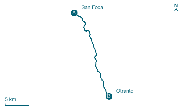
Download Appy for the stage map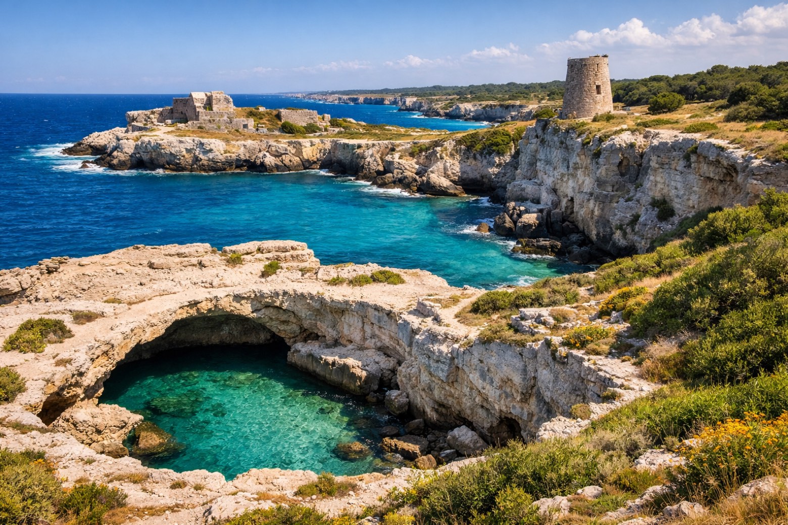
Stage information
- Ascent
- 61 m
- Descent
- 71 m
Difficulty: easy
Walking the stage
Walk an easy 23 km from San Foca to Otranto, passing Roca and Torre dell'Orso, with only 61 m of climbing.
Before leaving San Foca, locate Tower of San Foca on the map. It is close to the starting point.
Look for these places on the stage map: Roca, Torre dell'Orso, Frassanito, and Villaggio Altair.
What to see on this stage
History and landmarks
Fortification structure, defensive wall, Defensive enclosure
< 100 m from the trail as the crow flies
The first phase of construction of the walls, dating back to a final moment of the Protoappenninico (Phase 1, between the 17th and 16th centuries BC), has been recognized both along the outer front and, for the most part, along the inner one of the defense line, in a stretch of wall that stands out for its materials.
Tower of San Foca
Tower · < 100 m from the trail as the crow flies
A sixteenth century coastal watchtower, once called Torre di Capo Sapone, built to spot Ottoman raiders along the Salento coast. Today the coast guard has its seat inside, and the tower can be seen from outside all year.
Nature and landscape
Grotta degli Amanti
< 100 m from the trail as the crow flies
Grotta di San Cristoforo
< 100 m from the trail as the crow flies
Map · San Foca → Otranto
Take your walk with you: download Appy
Cammino del Salento Via del Mare: San Foca → Otranto. Explore maps, stages and elevation in the app, and plan your train or bus journey.

