Yeni Kurudere → Kemalpaşa Ovacık
Walking distance 17.1 km
Download Appy for the stage map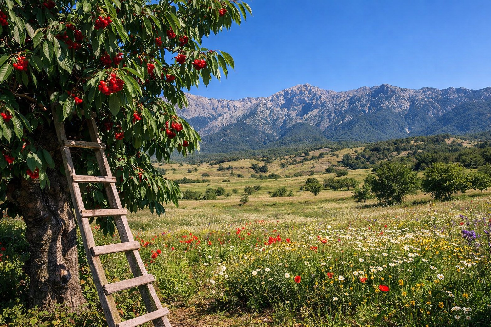
Stage information
- Ascent
- 2078 m
- Descent
- 1766 m
Difficulty: challenging
Walking the stage
Steep climb into the cherry country of Kemalpaşa to reach the highland meadow of Ovacık, wildflower pastures at the foot of the Bozdağ ridge.
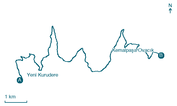
Before leaving Yeni Kurudere, locate Yenikurudere on the map. It is close to the starting point.
What to see on this stage
History and landmarks
Yenikurudere
< 100 m from the trail as the crow flies
Nature and landscape
Çalıbaba Dağı
< 100 m from the trail as the crow flies
Map · Yeni Kurudere → Kemalpaşa Ovacık
Take your walk with you: download Appy
Efeler Way: Yeni Kurudere → Kemalpaşa Ovacık. Explore maps, stages and elevation in the app, and plan your train or bus journey.

