Rabanal del Camino → Ponferrada
Walking distance 32.7 km
Download Appy for the stage map
Stage information
- Ascent
- 666 m
- Descent
- 1296 m
Difficulty: challenging (estimated)
Walking the stage
Push on 33 km from Rabanal del Camino to Ponferrada, through Foncebadón, Manjarin, El Acebo and Molinaseca.
On arrival in Ponferrada, consider a stop at Puente Boeza, close to the finish.
Look for these places on the stage map: Foncebadón, Labor de Rey, Riego de Ambrós, and Campo.
What to see on this stage
History and landmarks
Puente Boeza
Bridge · < 100 m from the trail as the crow flies
Bridge, in Ponferrada, Spain, designated as part of UNESCO World Heritage Site.
Puente de los Peregrinos
Bridge · < 100 m from the trail as the crow flies
Bridge, in Molinaseca, Spain, designated as part of UNESCO World Heritage Site.
Nature and landscape
Embalse de Montearenas
Lake · 1.1 km from the trail as the crow flies
20th-century lake, in León Province, Spain, covering 19.0 km².
Peña de la Escurpia
Summit · < 100 m from the trail as the crow flies
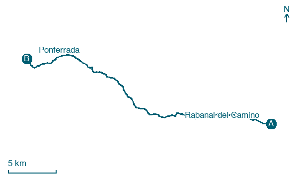
Map · Rabanal del Camino → Ponferrada
Take your walk with you: download Appy
Camino Frances: Rabanal del Camino → Ponferrada. Explore maps, stages and elevation in the app, and plan your train or bus journey.

