Osteria dell’Osa → Via Prenestina Vecchia
Walking distance 1.2 km
Download Appy for the stage map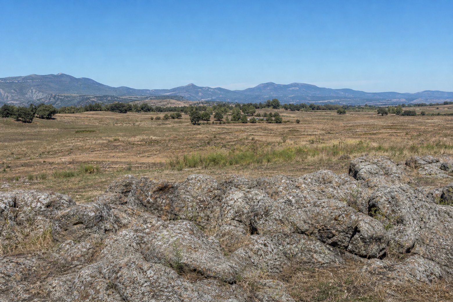
Stage information
- Ascent
- 4 m
- Descent
- 0 m
Difficulty: easy
Walking the stage
Via Prenestina Vecchia follows the edge of the landscape of ancient Gabii. The necropolis, former lake basin and archaeological park explain the road’s setting; the GPX does not connect their entrances.
Before leaving Osteria dell’Osa, locate Area of the "Osteria dell'Osa" Necropolis on the map. It is close to the starting point. On arrival in Via Prenestina Vecchia, consider a stop at The "Crater" of the former Castiglione lake and the Ancient Cave, close to the finish.
What to see on this stage
History and landmarks
Prenestina Vecchia
< 100 m from the trail as the crow flies
The old Via Prenestina is the actual walking line in this itinerary. It gives a point of reference for the more widely separated archaeological sights.
Area of the "Osteria dell'Osa" Necropolis
300 m from the trail as the crow flies
The necropolis of Osteria dell’Osa records burial practices in the early history of the area. Its location is context for the walk; the GPX does not take visitors through the burial ground.
Nature and landscape
The "Crater" of the former Castiglione lake and the Ancient Cave
500 m from the trail as the crow flies
The basin of the former Lago di Castiglione and the nearby quarry help explain the shape of the landscape. Their pin is away from the track, not an instruction to enter the quarry.
Take your walk with you: download Appy
Osa and the road to Gabii: Osteria dell’Osa → Via Prenestina Vecchia. Explore maps, stages and elevation in the app, and plan your train or bus journey.

