Petrer → Villena
Walking distance 20.9 km
Download Appy for the stage map
Stage information
- Ascent
- 288 m
- Descent
- 211 m
Difficulty: moderate (estimated)
Walking the stage
Follow 21 km from Petrer to Villena through Elda, Sax and Santa Eulalia, with 288 m of ascent.
On arrival in Villena, consider a stop at Palacio Municipal de Villena, close to the finish.
Look for these places on the stage map: Elda, Sax, and Santa Eulalia.
What to see on this stage
History and landmarks
Palacio Municipal de Villena
Palace · < 100 m from the trail as the crow flies
Palace in Renaissance style, designed by Jacopo Torni, in Villena, Spain, designated as bien de interés cultural.
Tower of Elda
Tower · < 100 m from the trail as the crow flies
Tower, in Elda, Spain, designated as bien de interés cultural, at 550 m elevation.
Nature and landscape
Elda Dam
Lake · 200 m from the trail as the crow flies
Paraje Natural Municipal Ladera del Castillo de Sax
200 m from the trail as the crow flies
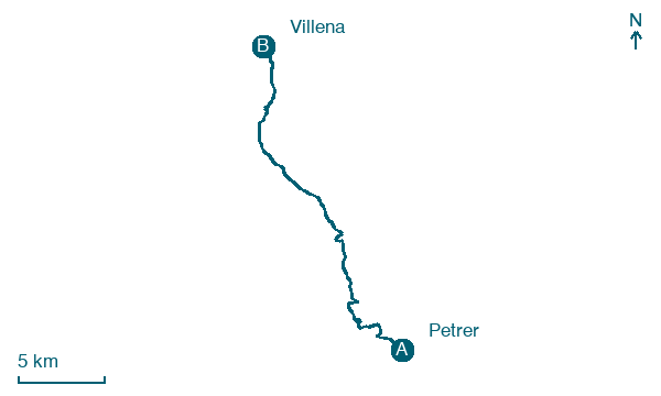
Map · Petrer → Villena
Take your walk with you: download Appy
Camino de la Lana: Petrer → Villena. Explore maps, stages and elevation in the app, and plan your train or bus journey.

