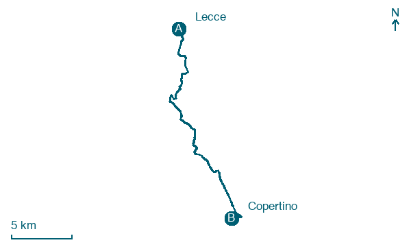
Lecce → Copertino
Walking distance 22.5 km
Download Appy for the stage map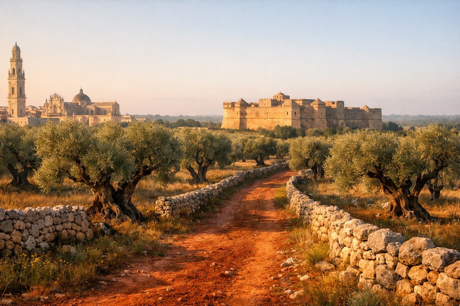
Stage information
- Ascent
- 8 m
- Descent
- 6 m
Difficulty: easy
Walking the stage
Through the Baroque heart of Lecce, past olive groves and masserie to the castle town of Copertino, home of the Flying Friar.
Before leaving Lecce, locate Palazzo dei Celestini on the map. It is close to the starting point.
Look for these places on the stage map: Castromediano, San Cesario di Lecce, Galugnano, and Sternatia.
What to see on this stage
History and landmarks
Palazzo dei Celestini
Palace · < 100 m from the trail as the crow flies
Palace in baroque style, in Lecce, Italy.
Castle of Charles V
Castle · 200 m from the trail as the crow flies
A fortress ordered in 1539 by Emperor Charles V to replace a medieval stronghold, designed by Gian Giacomo dell'Acaya with the outer works finished by 1549. It served as barracks until 1979 and now hosts exhibitions and cultural events.
Map · Lecce → Copertino
Take your walk with you: download Appy
Cammino del Salento Via dei Borghi: Lecce → Copertino. Explore maps, stages and elevation in the app, and plan your train or bus journey.

