La Grave to Alpe de Villar-d’Arêne
- Distance
- 11.1 km
- Ascent
- 760 m
- Descent
- 179 m
- Difficulty
- moderate
Start at the cable-car parking area in La Grave. The park’s alpine itinerary climbs along the Romanche valley and ends among the refuges above Villar-d’Arêne. Photograph — La Grave (MOSSOT, CC BY 3.0). Wikimedia Commons. Cropped and resized.
Open this stage in Appy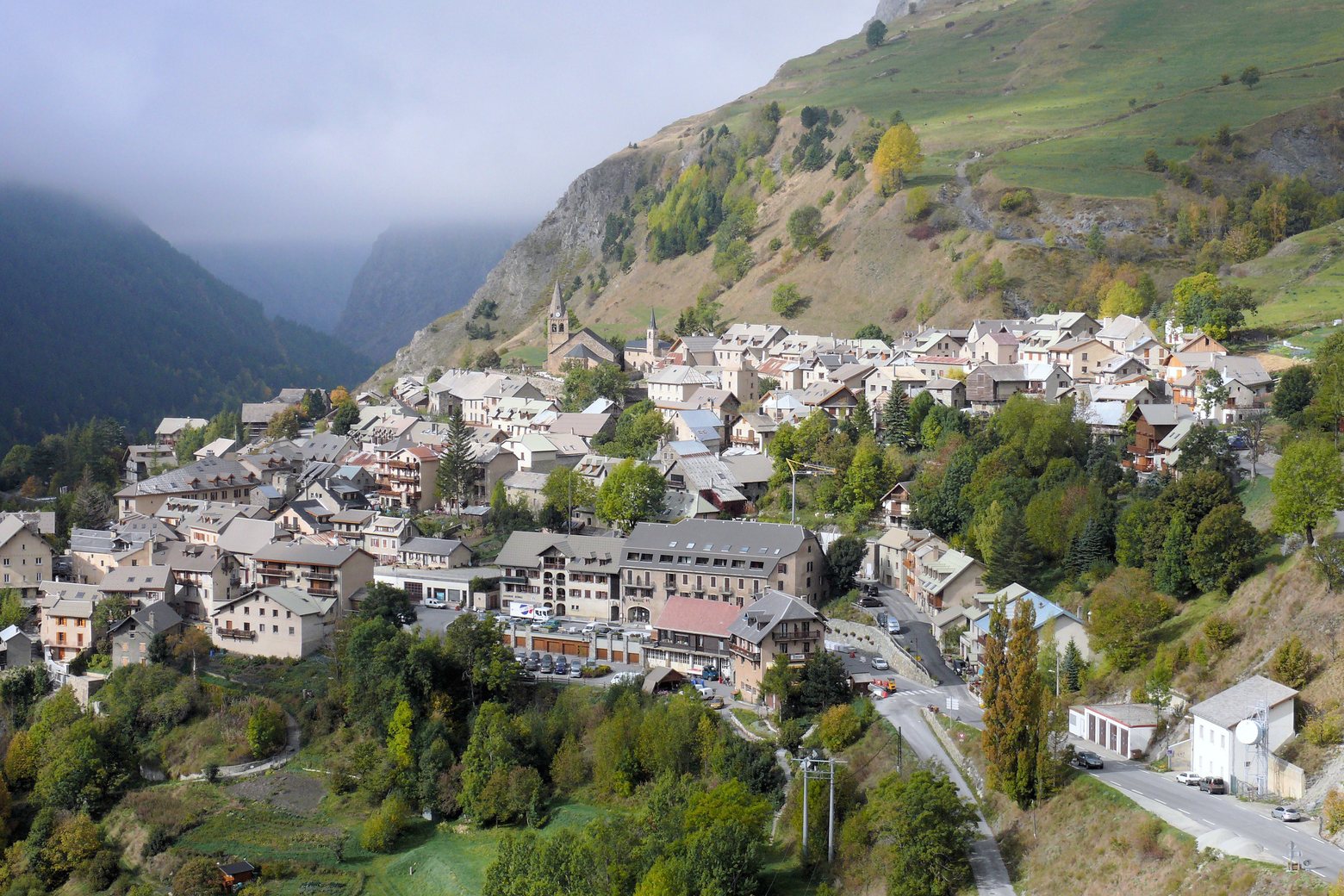
Before leaving La Grave, locate Ventelon on the map. It is close to the starting point.
Look for these places on the stage map: Villar-d'Arêne.
What to see on this stage
History and landmarks
Pont sur le Maurian, La Grave
Bridge · 400 m from the trail as the crow flies
Ventelon
600 m from the trail as the crow flies
Nature and landscape
Le Pas dans le Vide
1.1 km from the trail as the crow flies
Col des Portes
1.2 km from the trail as the crow flies