Mesía → Sigüeiro
Walking distance 24.2 km
Download Appy for the stage map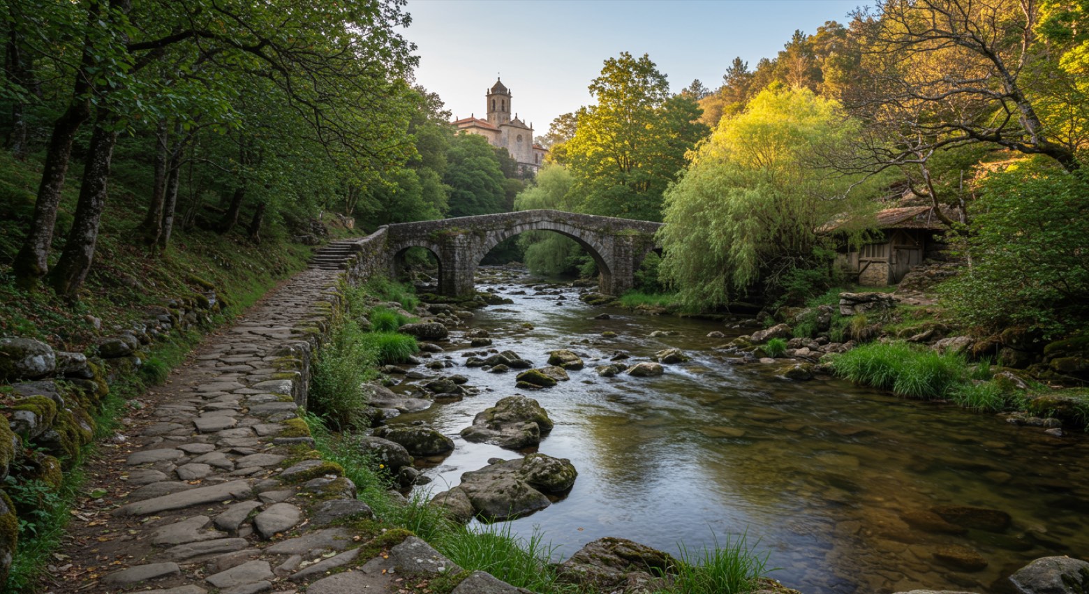
Stage information
- Ascent
- 168 m
- Descent
- 329 m
Difficulty: moderate
Walking the stage
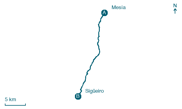
Follow 24 km from Mesía to Sigüeiro via A Carreira, Vilariño and A Calle, with only 168 m of ascent.
On arrival in Sigüeiro, consider a stop at Sigüeiro Bridge, close to the finish.
Look for these places on the stage map: Cabeza de Lobo, Vilariño, O Piñeiro, and Oroso Pequeno.
What to see on this stage
History and landmarks
Sigüeiro Bridge
Bridge · 400 m from the trail as the crow flies
Bridge, in Santiago de Compostela, Spain, designated as part of UNESCO World Heritage Site.
Castro de Vilares
Archaeological site · < 100 m from the trail as the crow flies
Nature and landscape
Río Tambre
National park · 700 m from the trail as the crow flies
Cotón de Xenarde
Summit · 1.2 km from the trail as the crow flies
Map · Mesía → Sigüeiro
Take your walk with you: download Appy
Camino Inglés (Ferrol): Mesía → Sigüeiro. Explore maps, stages and elevation in the app, and plan your train or bus journey.

