Sanluri → Villanovafranca
Walking distance 15.7 km
Download Appy for the stage map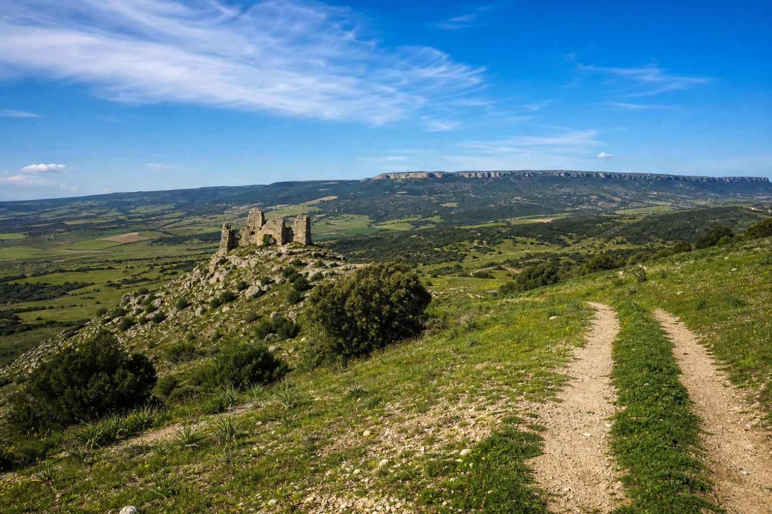
Stage information
- Ascent
- 255 m
- Descent
- 116 m
Difficulty: moderate
Walking the stage
The route climbs into the Marmilla hills, with the ruined Castello di Las Plassas in view to the west on its cone shaped hill and the Giara plateau on the horizon to the north. After a descent to Villamar, a steep climb leads up to Villanovafranca. A route variation is in place here around a closed bridge.
Before leaving Sanluri, locate Castello di Sanluri on the map. It is close to the starting point.
Look for these places on the stage map: Mara Arbarei/Villamar.
What to see on this stage
History and landmarks
Castello di Sanluri
Castle · < 100 m from the trail as the crow flies
Set in a garden scattered with memorabilia from the First World War. The building, with a quadrangular plan, consists of a ground floor and first floor, with a roof covering.
Castle of Sanluri
Castle · < 100 m from the trail as the crow flies
12th-century castle in medieval style, in Sanluri, Italy, designated as Italian national heritage.
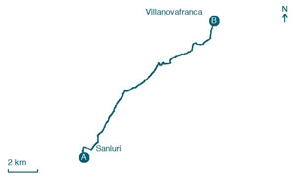
Map · Sanluri → Villanovafranca
Take your walk with you: download Appy
Cammino Francescano in Sardegna: Sanluri → Villanovafranca. Explore maps, stages and elevation in the app, and plan your train or bus journey.

