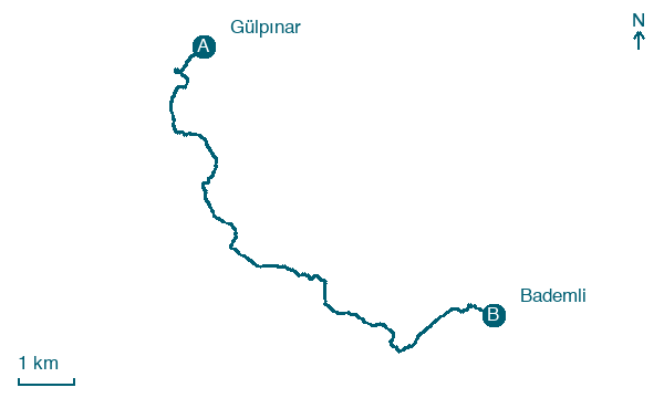
Gülpınar → Bademli
Walking distance 11.7 km
Download Appy for the stage map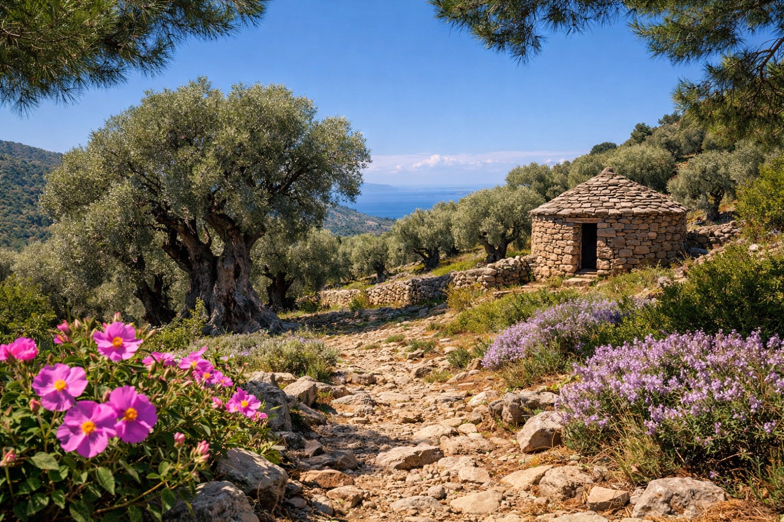
Stage information
- Ascent
- 1021 m
- Descent
- 738 m
Difficulty: moderate
Walking the stage
A shorter but hilly day through the pine-clad Biga foothills past the shepherd village of Kocaköy and the mountain hamlet of Coşkuntepe to the olive-oil village of Bademli.
Before leaving Gülpınar, locate Smintheion on the map. It is close to the starting point.
Look for these places on the stage map: Kocaköy.
What to see on this stage
History and landmarks
Smintheion
Archaeological site · 500 m from the trail as the crow flies
Gülpınar
900 m from the trail as the crow flies
Map · Gülpınar → Bademli
Take your walk with you: download Appy
Troy Culture Route: Gülpınar → Bademli. Explore maps, stages and elevation in the app, and plan your train or bus journey.

