Cagliari → Foxi
Walking distance 20.1 km
Download Appy for the stage map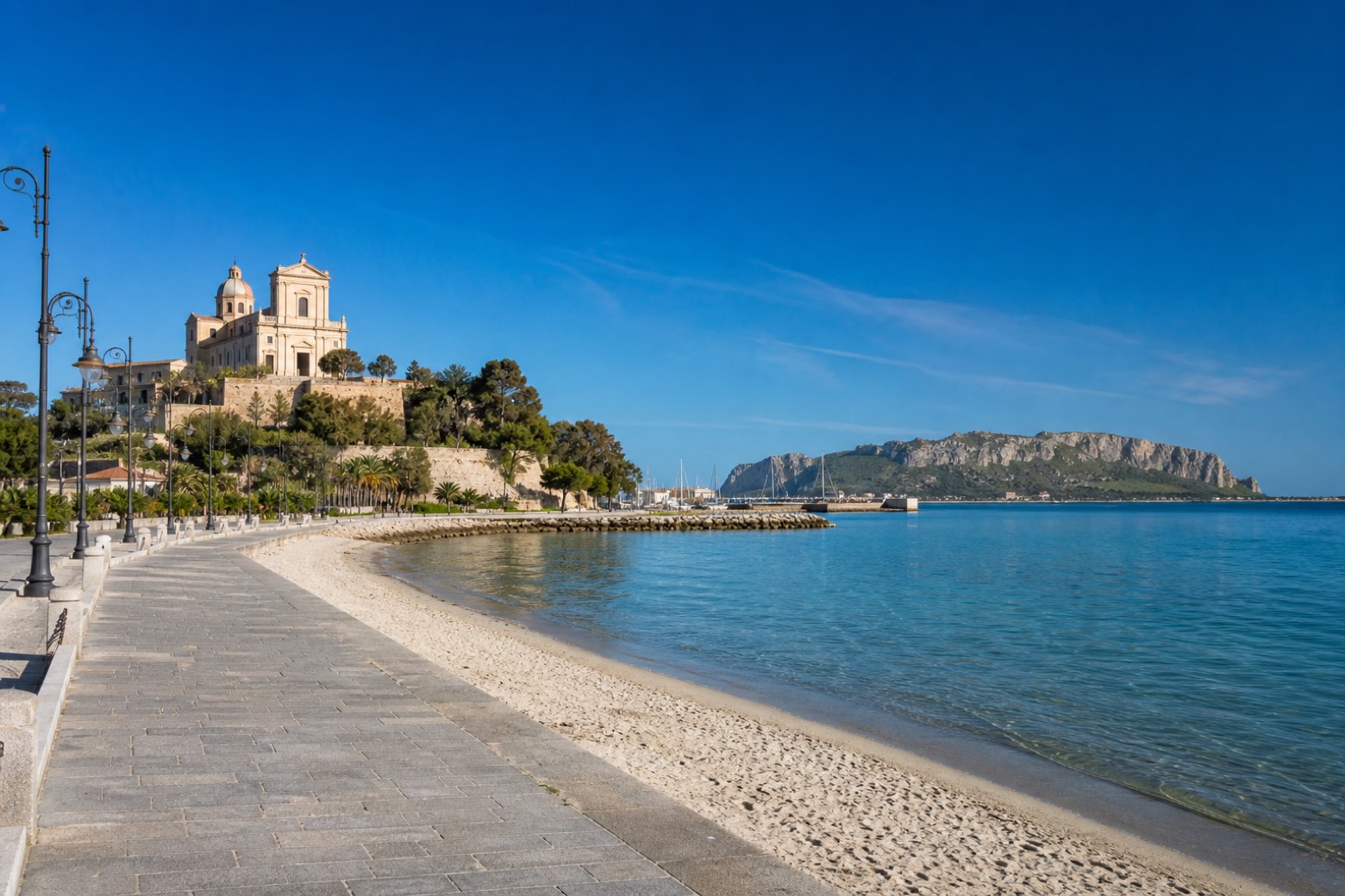
Stage information
- Ascent
- 42 m
- Descent
- 45 m
Difficulty: moderate
Walking the stage
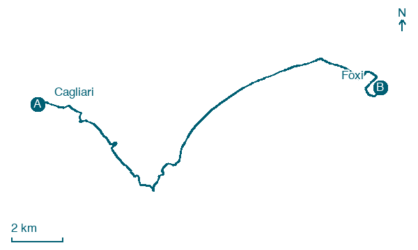
From the Torre della Scafa in Cagliari the walk follows the harbour promenade past the Santuario di Nostra Signora di Bonaria, the basilica on its hill above the Su Siccu fishing port. The line then joins the paved Poetto seafront, Sardinia's long city beach, with the Sella del Diavolo headland rising ahead, before turning inland to Foxi.
Before leaving Cagliari, locate Torre della Quarta Regia on the map. It is close to the starting point.
Look for these places on the stage map: Cuartu Sant'Aleni/Quartu Sant'Elena and Su Forti.
What to see on this stage
History and landmarks
Torre della Quarta Regia
Tower · < 100 m from the trail as the crow flies
A small coastal tower, 8 to 9 metres high, built on an Aragonese settlement where the fishermen of the lagoon owed a quarter of their catch to the crown, hence the name. A storm in 1898 damaged it, and from here nearly every tower of the gulf is in sight.
Palazzo
Palace · < 100 m from the trail as the crow flies
building consisting of four contiguous rectangular buildings on two above-ground levels that configure an overall E-shaped plan, where the long side to the north overlooks the street while the opposite side faces the sea.
Nature and landscape
Fico magnolioide di Via Roma - Piazza F.P. Ingrao, Cagliari
Monumental tree · < 100 m from the trail as the crow flies
Italy’s monumental tree register identifies this specimen as Ficus macrophylla Desf. ex Pers. It records a height of 20 m and a trunk circumference of 980 cm.
Fico magnolioide di Piazza Giacomo Matteotti, Cagliari
Monumental tree · 100 m from the trail as the crow flies
Italy’s monumental tree register identifies this specimen as Ficus macrophylla Desf. ex Pers. It records a height of 22.1 m and a trunk circumference of 1,200 cm.
Map · Cagliari → Foxi
Take your walk with you: download Appy
Cammino 100 Torri: Via degli Angeli: Cagliari → Foxi. Explore maps, stages and elevation in the app, and plan your train or bus journey.

