Calasetta → Grutti 'e Acqua
Walking distance 18.4 km
Download Appy for the stage map
Stage information
- Ascent
- 163 m
- Descent
- 110 m
Difficulty: moderate
Walking the stage
Via del Martirio begins at Calasetta, across the water from Portoscuso where Via delle Miniere ends. Dirt track leads south past the Faro Mangiabarche, a lighthouse standing on a rock off the coast, with the Isola di San Pietro visible across the channel. The stage ends at Grutti 'e Acqua, a nuragic site rather than a village, so lodging here is not confirmed.
Look for these places on the stage map: Villaggio dei Ciclopi and Villaggio Polifemo.
What to see on this stage
History and landmarks
Su Niu de su Crobu
Archaeological site · 100 m from the trail as the crow flies
Giants' tomb of the middle and late Bronze Age, built of trachyte blocks, whose name means the raven's nest. Part of the long burial chamber survives, uncovered, with its curved forecourt about 14 m wide.
Nature and landscape
Spiaggia di Cala Sapone
Beach · < 100 m from the trail as the crow flies
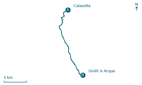
Map · Calasetta → Grutti 'e Acqua
Take your walk with you: download Appy
Cammino 100 Torri: Via del Martirio: Calasetta → Grutti 'e Acqua. Explore maps, stages and elevation in the app, and plan your train or bus journey.

