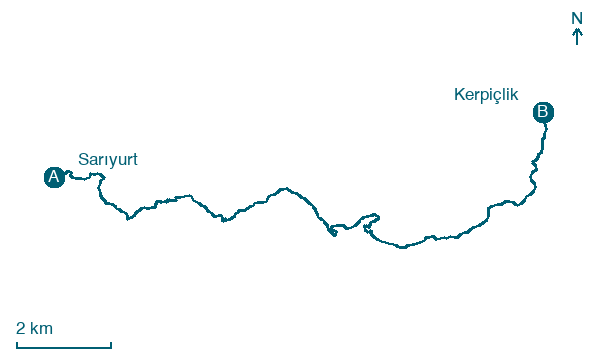
Sarıyurt → Kerpiçlik
Walking distance 18.2 km
Download Appy for the stage map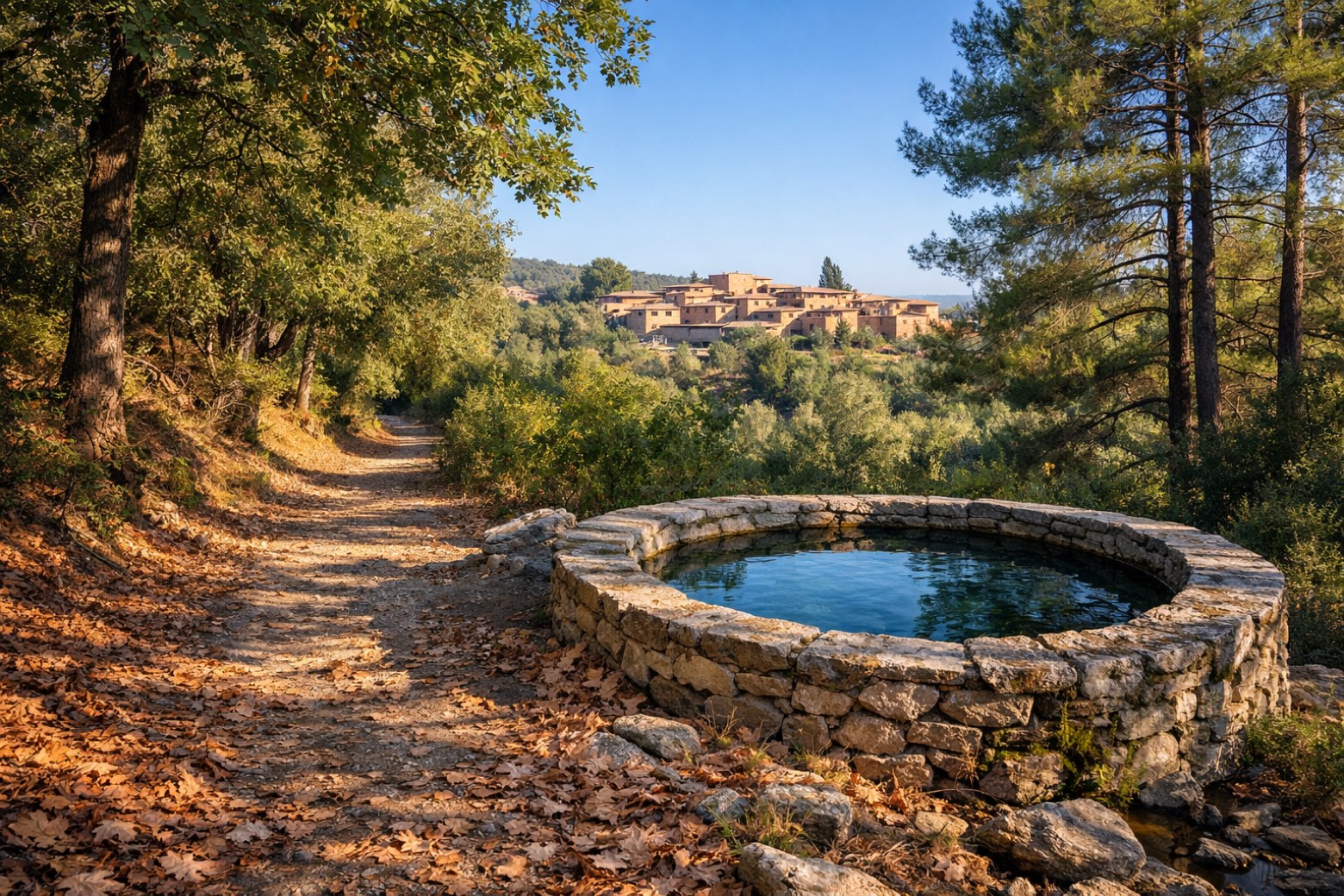
Stage information
- Ascent
- 1253 m
- Descent
- 1345 m
Difficulty: challenging
Walking the stage
Through mixed oak and pine forest, across streams and past stone-built cisterns to the mud-brick village of Kerpiçlik.
On arrival in Kerpiçlik, consider a stop at Kerpiçlik, close to the finish.
Look for these places on the stage map: Lütuflar.
What to see on this stage
History and landmarks
Kerpiçlik
300 m from the trail as the crow flies
Kızılca
1.2 km from the trail as the crow flies
Map · Sarıyurt → Kerpiçlik
Take your walk with you: download Appy
Efeler Way: Sarıyurt → Kerpiçlik. Explore maps, stages and elevation in the app, and plan your train or bus journey.

