Refuge de la Muzelle (Venosc, Les Deux Alpes) to Mizoën
- Distance
- 22.3 km
- Ascent
- 1033 m
- Descent
- 1971 m
- Difficulty
- challenging
Follow the Torrent de la Muzelle to L’Alleau, descend into the valley, then climb to Mizoën. The alpine itinerary has exposed sections fitted with handrails and ladders. Photograph — Mont-de-Lans (Les Deux Alpes) (Rémih, CC BY-SA 4.0). Wikimedia Commons. Cropped and resized.
Open this stage in Appy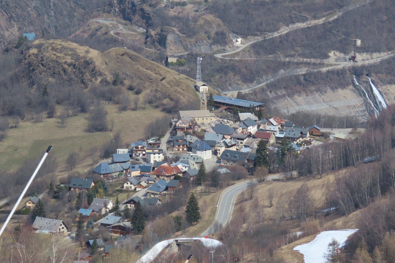
Before leaving Refuge de la Muzelle (Venosc, Les Deux Alpes), locate Lac de la Muzelle on the map. It is close to the starting point.
Look for these places on the stage map: L'Alleau, Le Courtil, Bons, and Le Chambon.
What to see on this stage
History and landmarks
Croix du Sert
< 100 m from the trail as the crow flies
Croix
1.1 km from the trail as the crow flies
Nature and landscape
Cascade de la Muzelle
< 100 m from the trail as the crow flies
Lac de la Muzelle
200 m from the trail as the crow flies