Chalets du Fay et des Mouterres (Mizoën) to La Grave
- Distance
- 12.1 km
- Ascent
- 299 m
- Descent
- 1066 m
- Difficulty
- easy
Cross Col du Souchet from the Plateau d’Emparis. Descend towards the Romanche and finish at the cable-car parking area in La Grave, where the fourteen-day alpine circuit began. Photograph — Ensemble religieux de La Grave (Gagea, CC BY-SA 3.0). Wikimedia Commons. Cropped and resized.
Open this stage in Appy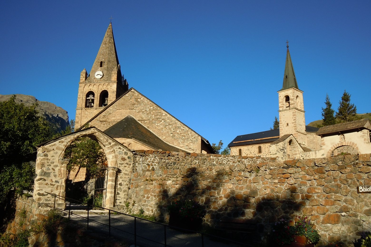
On arrival in La Grave, consider a stop at Les Terrasses, close to the finish.
Look for these places on the stage map: Le Chazelet and Les Terrasses.
What to see on this stage
History and landmarks
Oratoire Sainte-Anne du Chazelet
< 100 m from the trail as the crow flies
Les Terrasses
< 100 m from the trail as the crow flies
Nature and landscape
Col des Portes
< 100 m from the trail as the crow flies
Col du Souchet
< 100 m from the trail as the crow flies