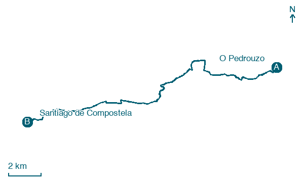
O Pedrouzo → Santiago de Compostela
Walking distance 19.9 km
Download Appy for the stage map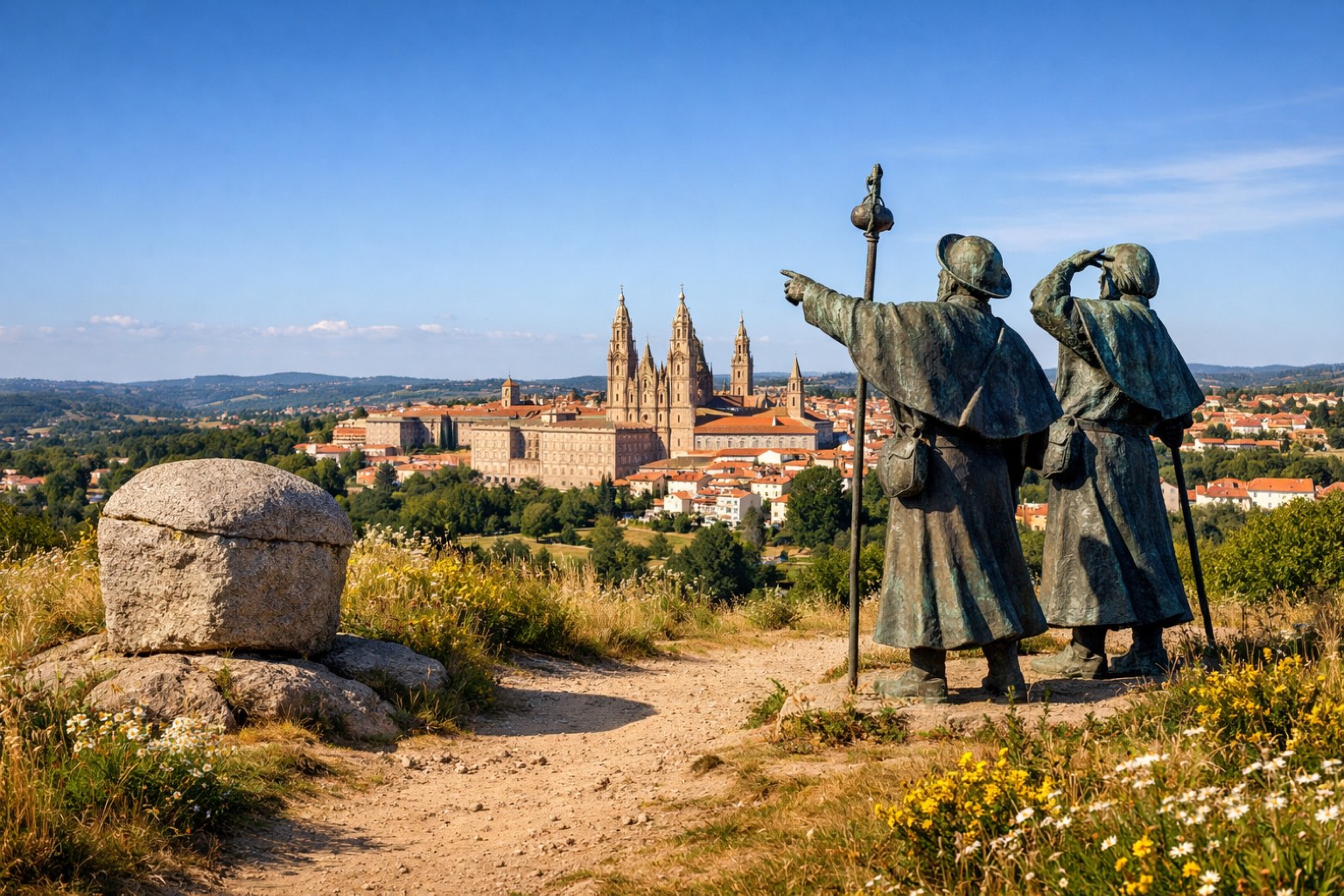
Stage information
- Ascent
- 403 m
- Descent
- 430 m
Difficulty: moderate (estimated)
Walking the stage
Reach Santiago de Compostela after 20 km from O Pedrouzo, passing Amarelle and A Lavacolla, with 403 m of climbing.
On arrival in Santiago de Compostela, consider a stop at Old Town of Santiago de Compostela, close to the finish.
Look for these places on the stage map: Vilachá, As Trigueiras, San Marcos, and O Vieiro.
What to see on this stage
History and landmarks
Old Town of Santiago de Compostela
< 100 m from the trail as the crow flies
Monument, in A Coruña Province, Spain, designated as World Heritage Site, covering 107.6 km².
Cathedral of Santiago de Compostela
Cathedral · < 100 m from the trail as the crow flies
A Romanesque cathedral begun in 1075 and consecrated in 1211, with a Baroque Obradoiro front from 1738 to 1750 built to shelter the Portico de la Gloria. In the crypt the relics of Saint James the Great are venerated.
Nature and landscape
San Marcos
Summit · < 100 m from the trail as the crow flies
A Chousa da Costa
Summit · < 100 m from the trail as the crow flies
Map · O Pedrouzo → Santiago de Compostela
Take your walk with you: download Appy
Camino Frances: O Pedrouzo → Santiago de Compostela. Explore maps, stages and elevation in the app, and plan your train or bus journey.

