La Storta → Roma
Walking distance 19 km
Download Appy for the stage map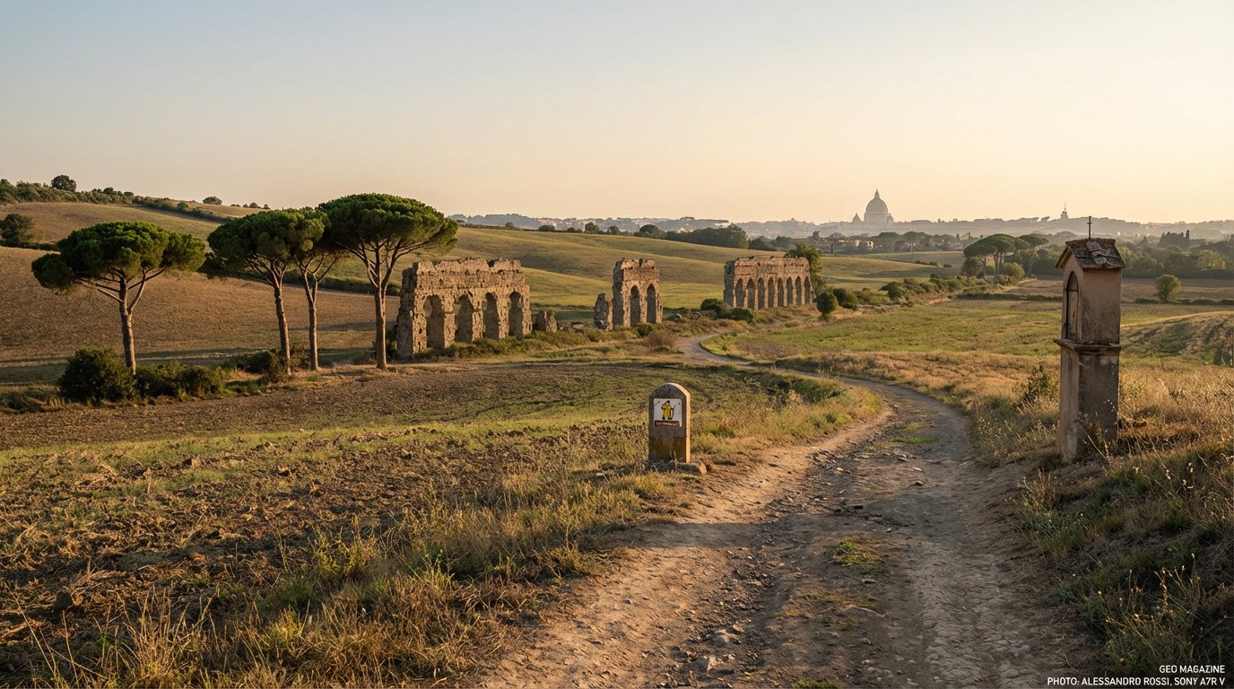
Stage information
- Ascent
- 120 m
- Descent
- 241 m
Difficulty: moderate
Walking the stage
Enjoy an easy 19 km walk from La Storta to Roma, with only 120 m of climbing, passing La Giustiniana.
Before leaving La Storta, locate Cathedral of the Sacred Hearts of Jesus and Mary on the map. It is close to the starting point. On arrival in Roma, consider a stop at Palazzo Rusticucci-Accoramboni, close to the finish.
Look for these places on the stage map: La Giustiniana.
What to see on this stage
History and landmarks
Cathedral of the Sacred Hearts of Jesus and Mary
Cathedral · < 100 m from the trail as the crow flies
20th-century romanesque revival architecture cathedral.
Palazzo Rusticucci-Accoramboni
Palace · 200 m from the trail as the crow flies
Palace, designed by Domenico Fontana, in Rome, Italy.
Nature and landscape
Parco regionale urbano del Pineto
National park · 500 m from the trail as the crow flies
Pineto Urban Regional Park. 20th-century national park, in Province of Rome, Italy, covering 240.0 km².
Monte Mario Nature Reserve
National park · 1.3 km from the trail as the crow flies
20th-century national park, in Rome, Italy, covering 206.0 km².
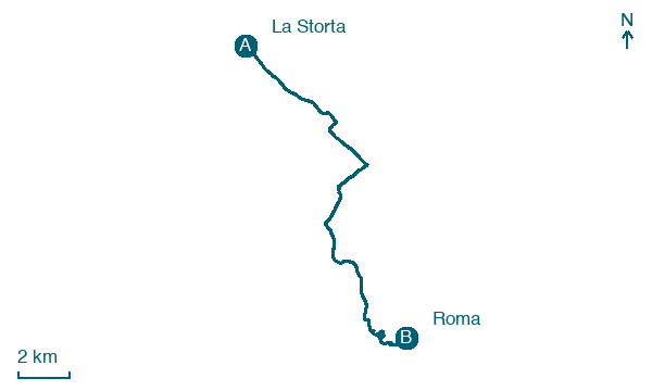
Map · La Storta → Roma
Take your walk with you: download Appy
Romea Tuscia: La Storta → Roma. Explore maps, stages and elevation in the app, and plan your train or bus journey.

