Villasimius → Costa Rei
Walking distance 28.8 km
Download Appy for the stage map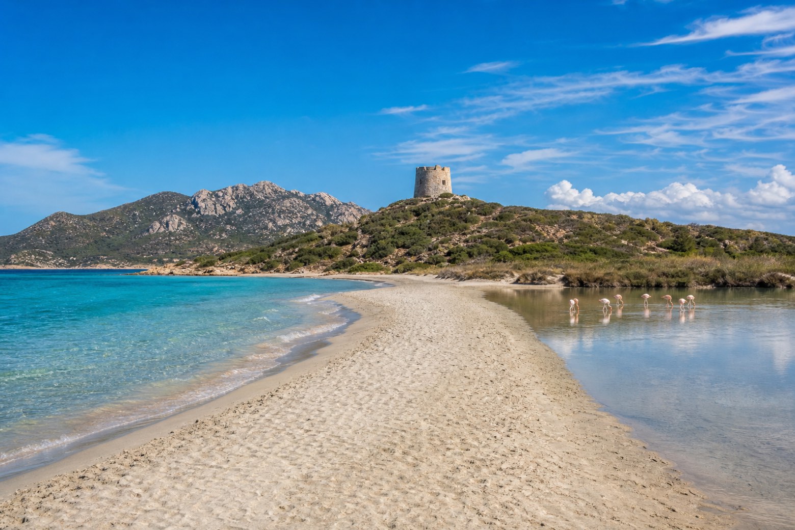
Stage information
- Ascent
- 224 m
- Descent
- 222 m
Difficulty: challenging
Walking the stage
The line leaves Villasimius on sand and dirt track past Torre di Porto Giunco, a round stone tower between the beach and the Stagno di Notteri lagoon, with the Capo Carbonara headland close to the south. Long beach walking continues north along the open Tyrrhenian shore to Costa Rei.
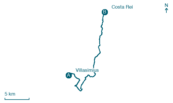
Look for these places on the stage map: Campulongu, Santa Caterina, Cala Pira, and San Pietro.
What to see on this stage
History and landmarks
Torre di Porto Giunco
Tower · < 100 m from the trail as the crow flies
Map · Villasimius → Costa Rei
Take your walk with you: download Appy
Cammino 100 Torri: Via Sarcapos: Villasimius → Costa Rei. Explore maps, stages and elevation in the app, and plan your train or bus journey.

