Refuge de l’Arpont (Val-Cenis) to Le Djoin, carrefour des refuges d’Aussois (Aussois)
- Distance
- 15.2 km
- Ascent
- 616 m
- Descent
- 680 m
- Difficulty
- moderate
Walk below Dent Parrachée through Le Mont, La Loza and La Turra to Le Djoin. The GPX finishes at the junction for the refuges above Aussois. From here the mapped approaches are about 0.7 km to Le Montana, 0.85 km to Refuge de Plan Sec, 2.0 km to Refuge de la Fournache, 2.9 km to Refuge de la Dent Parrachée and 4.6 km to Refuge du Fond d’Aussois. Photograph — La Pierre du Diable (Peyra Levrousa, Aussois) (Florian Pépellin, CC BY-SA 4.0). Wikimedia Commons. Cropped and resized. https://commons.wikimedia.org/wiki/File:Pierre_du_Diable_%C3%A0_Aussois_(ao%C3%BBt_2026).JPG · https://creativecommons.org/licenses/by-sa/4.0
Open this stage in Appy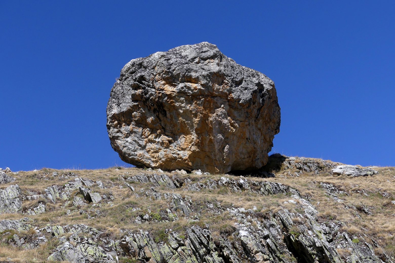
Before leaving Refuge de l’Arpont (Val-Cenis), locate Chapelle Saint-Laurent on the map. It is close to the starting point. On arrival in Le Djoin, carrefour des refuges d’Aussois (Aussois), consider a stop at La Pierre du Diable (Peyra Levrousa), close to the finish.
What to see on this stage
History and landmarks
Chapelle Saint-Laurent
Church · < 100 m from the trail as the crow flies
Nature and landscape
La Pierre du Diable (Peyra Levrousa)
< 100 m from the trail as the crow flies
Lac Blanc
Lake · 1.6 km from the trail as the crow flies