Mecerreyes → Burgos
Walking distance 34.7 km
Download Appy for the stage map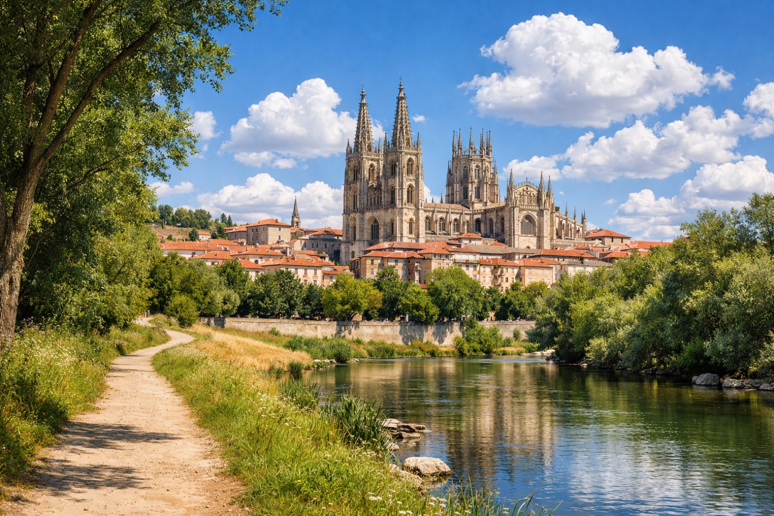
Stage information
- Ascent
- 425 m
- Descent
- 554 m
Difficulty: challenging (estimated)
Walking the stage
Finish in Burgos after 35 km from Mecerreyes, through Tornadijo and Cojóbar, with 425 m of ascent.
On arrival in Burgos, consider a stop at Casa del Cordón, close to the finish.
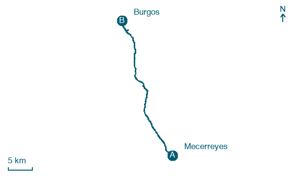
Look for these places on the stage map: Tornadijo, Revillarruz, Modúbar de la Emparedada, and Cardeñadijo.
What to see on this stage
History and landmarks
Puente de San Pablo, Burgos
Bridge · < 100 m from the trail as the crow flies
Bridge, dedicated to Paul the Apostle, in Burgos, Spain, designated as part of UNESCO World Heritage Site, built in stone.
Casa del Cordón
< 100 m from the trail as the crow flies
Monument in Gothic style, designed by Juan de Colonia, in Burgos, Spain, designated as cultural heritage.
Nature and landscape
Alto de la Horca
Summit · < 100 m from the trail as the crow flies
Map · Mecerreyes → Burgos
Take your walk with you: download Appy
Camino de la Lana: Mecerreyes → Burgos. Explore maps, stages and elevation in the app, and plan your train or bus journey.

