Le Monêtier-les-Bains to Vallouise (Vallouise-Pelvoux)
- Distance
- 21.7 km
- Ascent
- 995 m
- Descent
- 1321 m
- Difficulty
- challenging
The main route crosses Col de l’Eychauda, then descends through the hamlet of Chambran and follows the water downstream into Vallouise. The separate alpine itinerary from La Grave crosses Col des Grangettes. Photograph — Église Notre-Dame-de-l’Assomption du Monêtier-les-Bains (MOSSOT, CC BY-SA 3.0). Wikimedia Commons. Cropped and resized.
Open this stage in Appy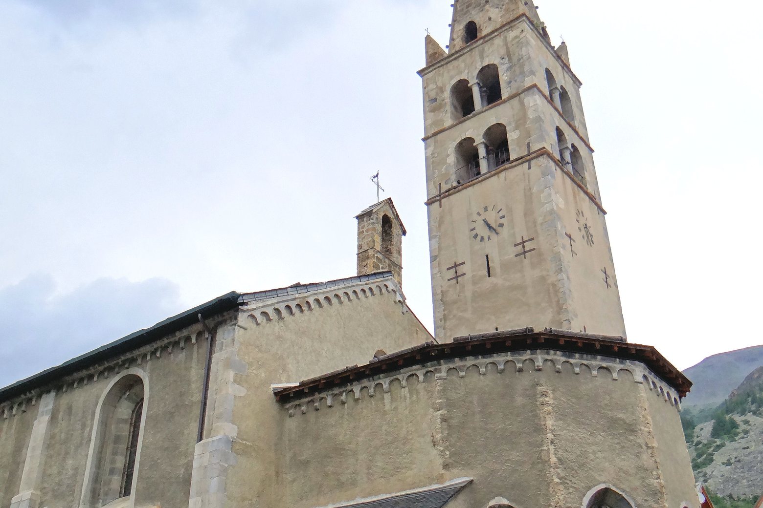
Look for these places on the stage map: Chambran, Le Riou, Le Sarret, and Le Poët.
What to see on this stage
History and landmarks
Chapelle du Charvet
Chapel · < 100 m from the trail as the crow flies
Chalets de Chambran
< 100 m from the trail as the crow flies
Nature and landscape
Col de l’Eychauda
< 100 m from the trail as the crow flies
Pas de l'Âne
1.2 km from the trail as the crow flies