Sermoneta → Sezze
Walking distance 10.9 km
Download Appy for the stage map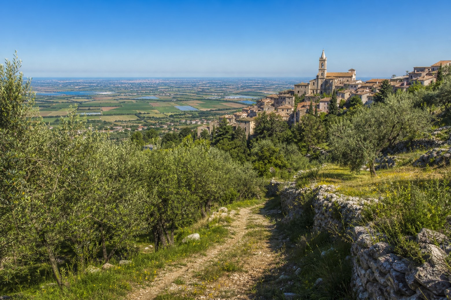
Stage information
- Ascent
- 269 m
- Descent
- 199 m
Difficulty: easy
Walking the stage
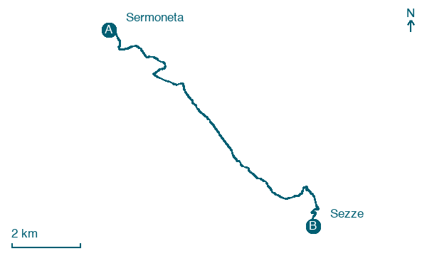
Out of Sermoneta past the former convent of San Francesco and up through a small wood, opening and closing a gate on the way. Across a level plateau on Via Antignana to the hamlet of Casali, then uphill on Via Madonna della Pace to the Duomo of Sezze. About 11 km.
Before leaving Sermoneta, locate Monumento ai caduti on the map. It is close to the starting point.
Look for these places on the stage map: Sezze Scalo.
What to see on this stage
History and landmarks
Museum of History of Pottery
Museum · < 100 m from the trail as the crow flies
21st-century museum, in Sermoneta, Italy, designated as Italian national heritage, covering 200.0 km².
Monumento ai caduti
< 100 m from the trail as the crow flies
Monument, in Sermoneta, Italy, designated as Italian national heritage.
Map · Sermoneta → Sezze
Take your walk with you: download Appy
Via Francigena del Sud (tratta Laziale): Sermoneta → Sezze. Explore maps, stages and elevation in the app, and plan your train or bus journey.

