The winter way to Roncesvalles via Valcarlos
From 1 November 2026 through 31 March 2027, the crossing from Saint-Jean-Pied-de-Port into Navarra goes via Luzaide/Valcarlos. If your route goes through Orisson, it follows the high crossing, which closes for winter. Look for Valcarlos in the valley, then the climb to Ibañeta before Roncesvalles.
Find the Camino Frances map and its walking stages in AppyPilgrim.

Published on
How to recognise the winter route on your map
Zoom in until the village names appear. The western route reaches Luzaide/Valcarlos and then the Ibañeta pass. Huntto, Orisson and the Lepoeder pass mark the high Napoleon Route. Navarra closes that crossing near the Bentartea pass for the entire period, including clear days.
The main climb comes after Valcarlos
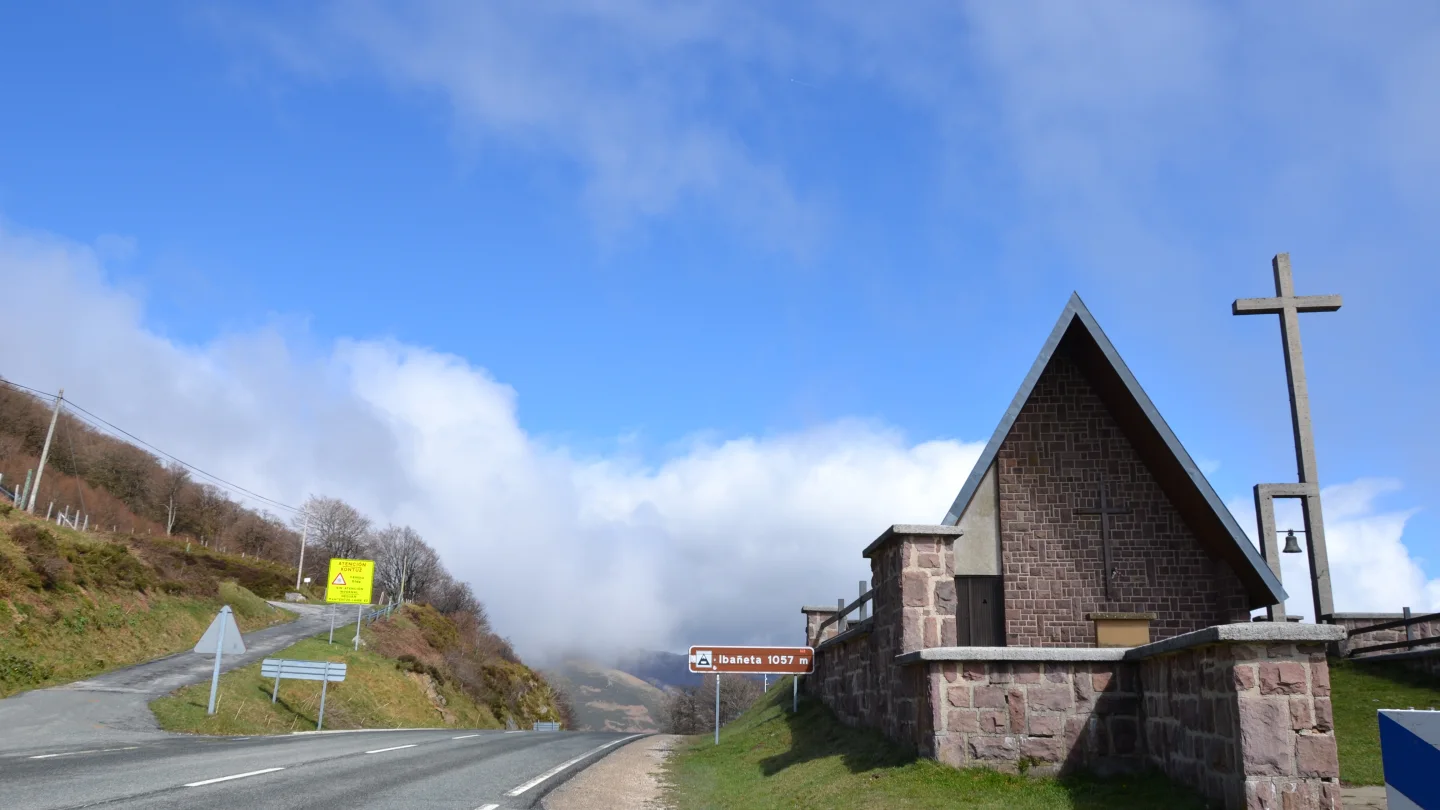
On profile A of the crossing map, Saint-Jean is on the right. Trace the line to the left: Valcarlos sits in the valley, with the climb to Ibañeta still ahead. The map gives 23.2 km for the whole stage to Orreaga/Roncesvalles. The pass stands at 1,057 m above sea level. From there you still have the descent to your bed in the village.
Pyrenees crossing map with both elevation profiles (PDF, 19 MB)
Where to break the stage if you start late
The municipal pilgrims’ hostel in Valcarlos is on Plaza de Santiago. Staying there lets you tackle the climb the next morning, with the whole day ahead of you. Before you count on that bed, contact the hostel to check it opens on your date, has space and can welcome you at your expected arrival time.
Check the forecast for the pass
Before the climb, read AEMET’s mountain forecast for the Navarre Pyrenees. Check its date, wind, visibility and snow level. A sunny morning in Valcarlos can still mean cloud on Ibañeta. Postpone the crossing if the forecast or local advice warns against it.
Before you go
- Find Valcarlos and Ibañeta on your saved map.
- If you plan to stay in Valcarlos, agree an arrival time with the hostel.
- Check the mountain forecast on the morning of the climb.
Walks in this guide
These distances are for the whole walk. Open a route to see which stages you’d like to walk.
- Camino Frances
- Distance
- 784.5 km
- Stages
- 32 stages