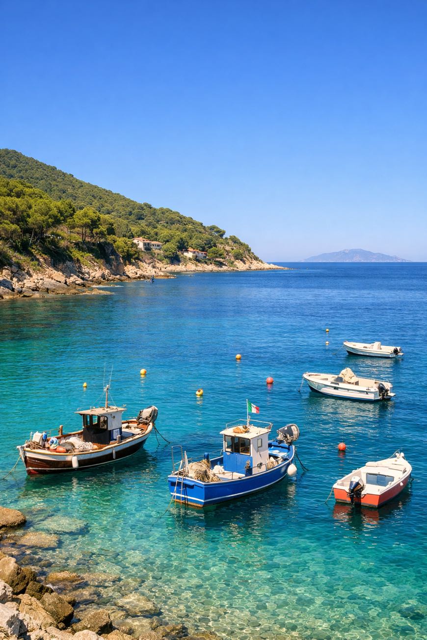
Grande Traversata Elbana Nord
Toscana, Italy
Italy · Cavo, Italy → Patresi, Italy
Distance
56 km
Stages
3
Difficulty
challenging
Best months
Apr-Jun, Sep-Oct
Grande Traversata Elbana Nord · Stages and distances
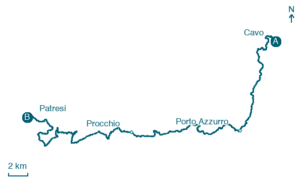
Walking distances for Appy’s stages (3)
| Stage | km |
|---|---|
| 1. Cavo → Porto Azzurro | 15.7 |
| 2. Porto Azzurro → Procchio | 16.1 |
| 3. Procchio → Patresi | 23.9 |
| Total | 55.7 |
About
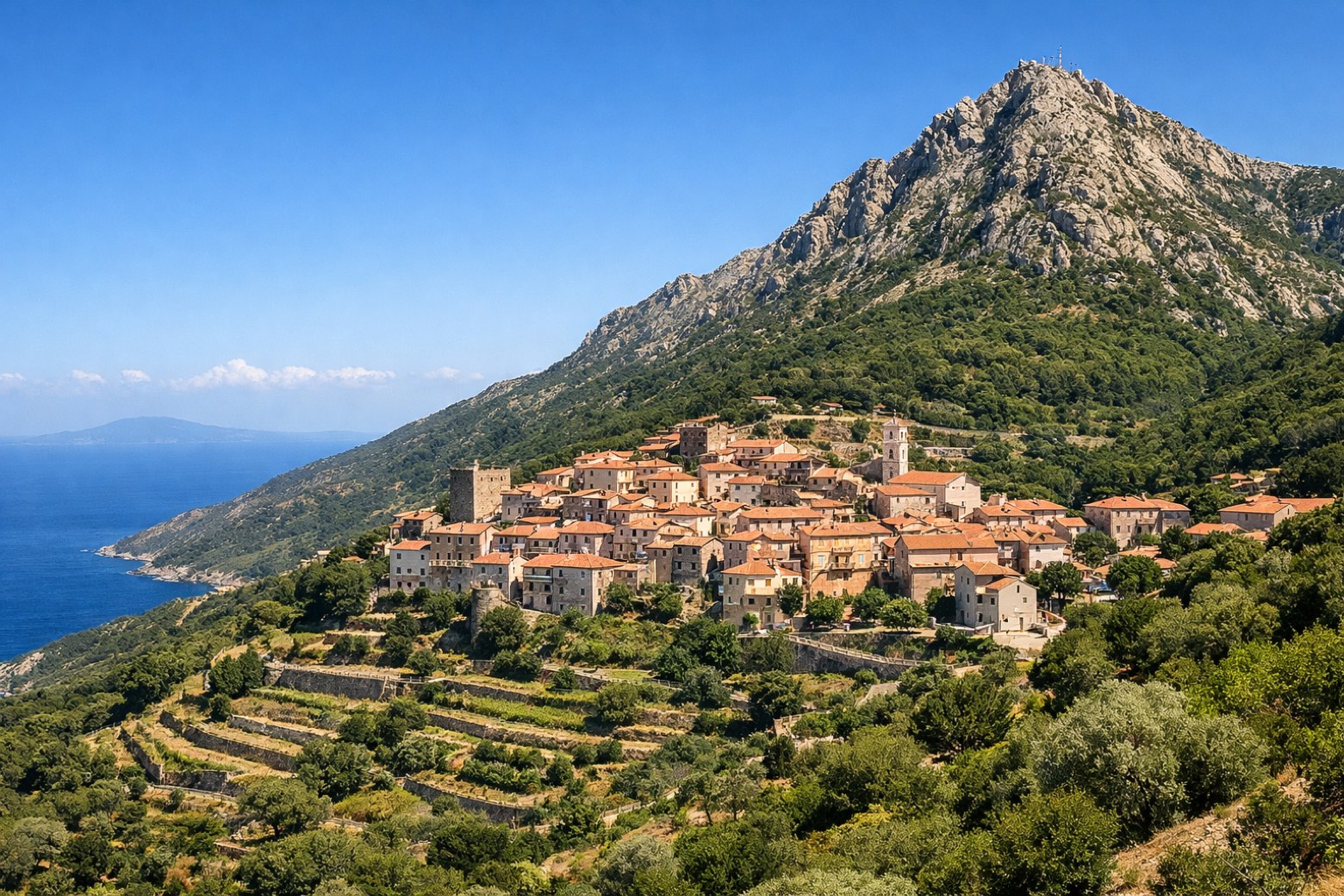
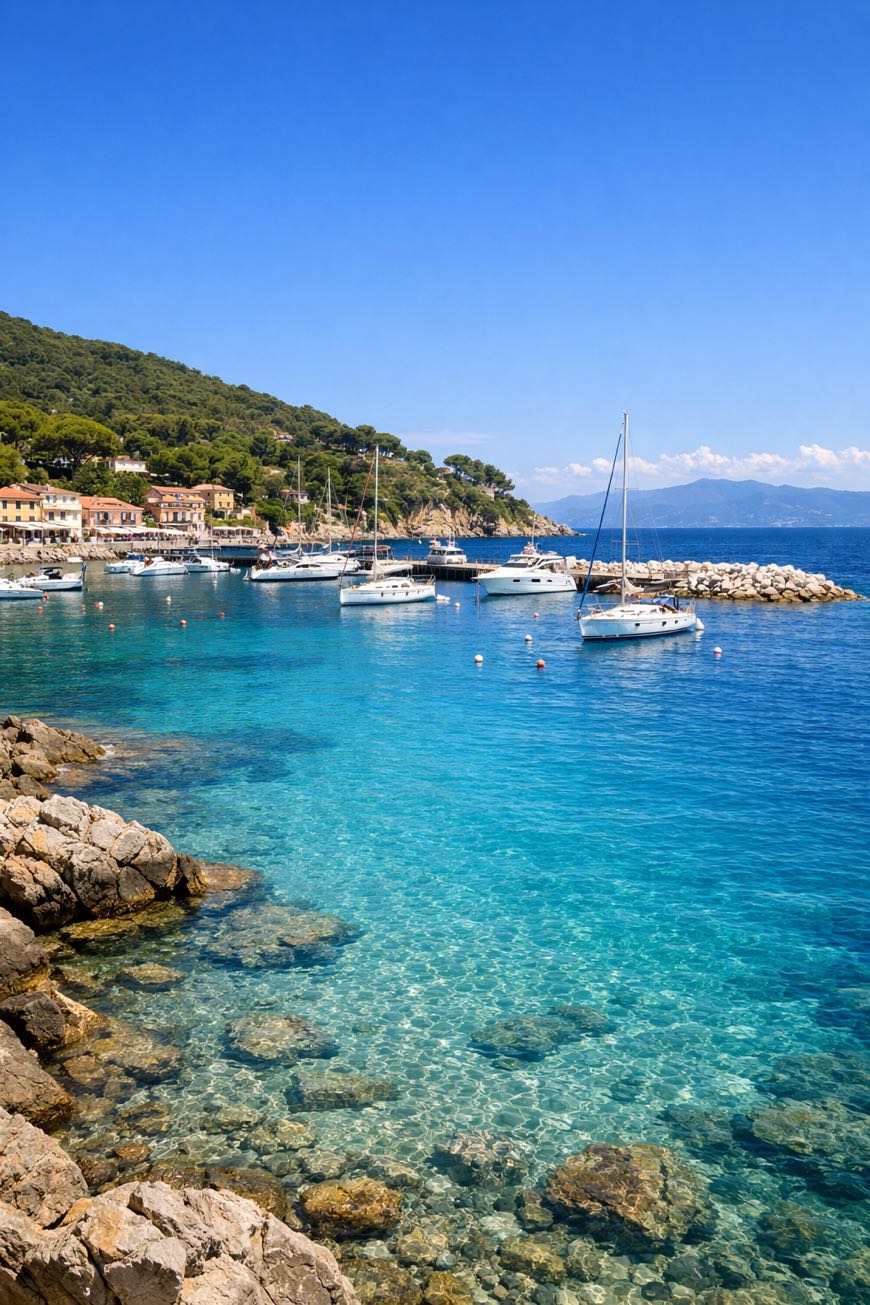
Three stages, about 55 km of rugged beauty. From Cavo’s sun-warmed shores to Marciana’s mountain experience, the Grande Traversata Elbana Nord ascends 3,288 metres through Elba’s wild heart.
Rocky paths lead to ancient Roman ruins near Rio Marina, where the scent of pine mingles with the salty sea breeze. The highest peak, Monte Capanne, stands sentinel at 1,018 metres.
Hike from April to June or September to October, a journey where history and nature intertwine, revealing a landscape shaped by time and the whispers of past exiles.
Stages
3 stages
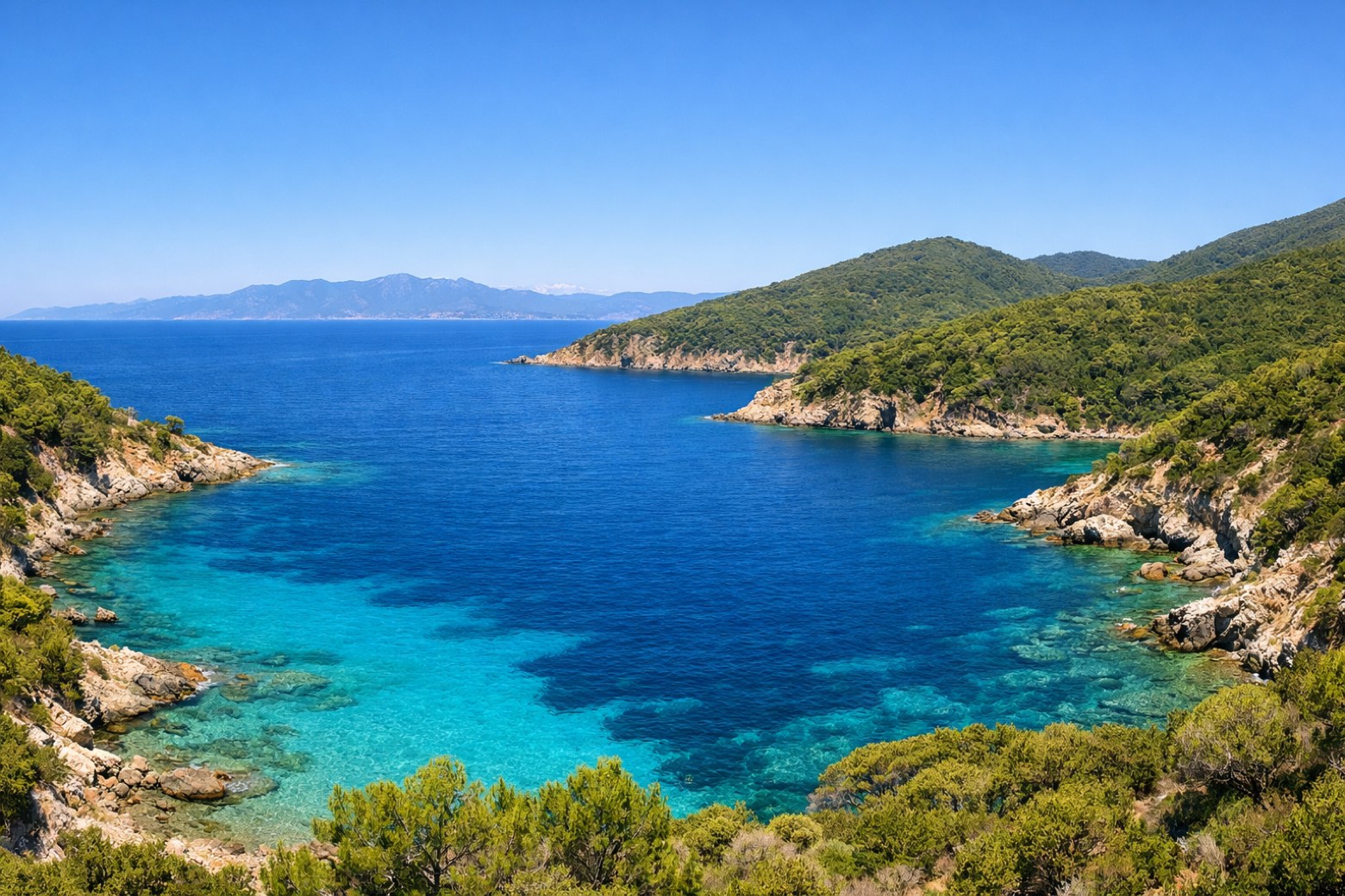 Stage 1
Cavo → Porto Azzurro
challenging- Distance
- 16 km
- Ascent
- 734 m
- Descent
- 470 m
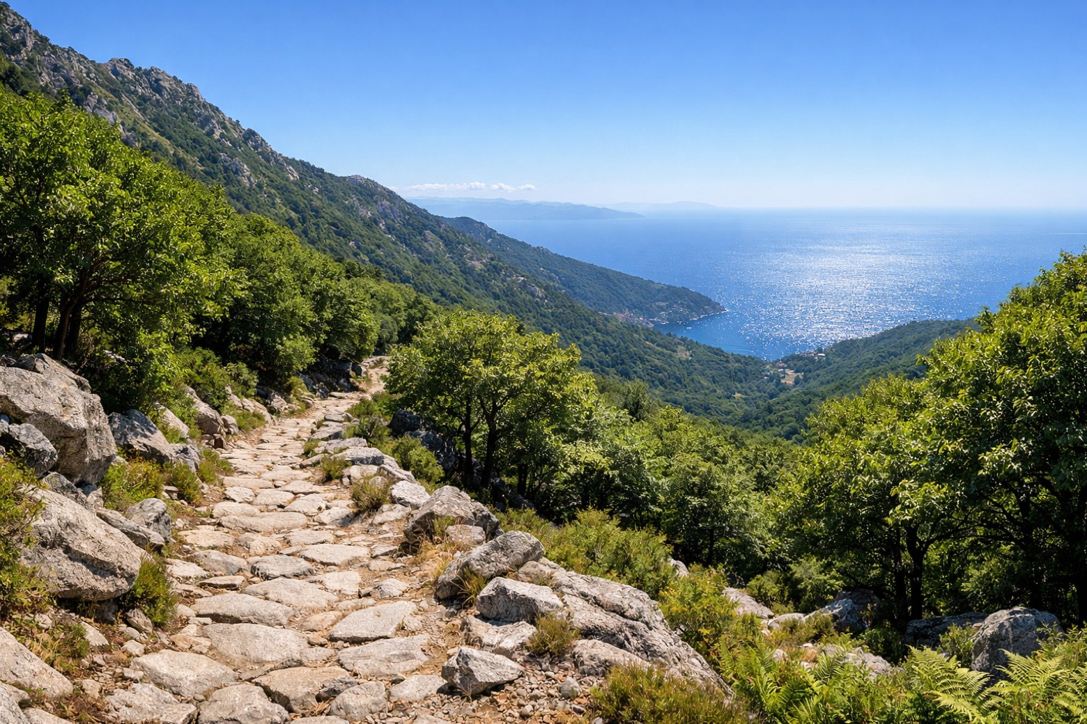 Stage 2
Porto Azzurro → Procchio
challenging- Distance
- 16 km
- Ascent
- 363 m
- Descent
- 558 m
 Stage 3
Procchio → Patresi
challenging- Distance
- 24 km
- Ascent
- 1199 m
- Descent
- 1154 m
Travel
Find connections for your cammino.
Search trainsMore walks in Italy


Plan your walking trip
All articles and guidesHow to choose a walking route: stages, days and ascent
How many days can you actually spend walking? Start there, then choose stages that leave you time to stop along the way.
How to plan a walking trip by train and bus
Two different stations, a last bus and a backpack. Fit the journeys out and home around the days you want to spend walking.
Take your walk with you: download Appy
Grande Traversata Elbana Nord. Explore maps, stages and elevation in the app, and plan your train or bus journey.

